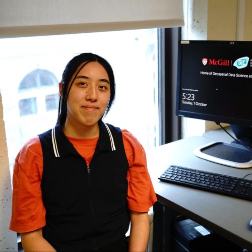
The GIC is open to all who would like to work in a friendly environment or would like to get support on their geo-spatial projects. We offer work space as well as access to our computer lab equipped with geo-spatial software. Please see the slider at the top of the page for our current opening hours.
You can also access our computers remotely 24/7. See how to do so below.
Looking forward to seeing you soon at the GIC!
Everyone at McGill can use our public GIC computers. They are especially equipped for use with geospatial software. At AnyDesk website you can connect to them on a first-come-first-served basis for up to 6 hours each time. For accessing any computer you need to be connected through McGill’s VPN.
Every student and faculty member at McGill can get their own ESRI ArcGIS license. ArcGIS only works under Windows. To request your individual license please contact us at gicsupport@mcgill.ca. For information on how to install ArcGIS Pro please consult the Knowledge Base article. For licensing information, please consult the “Authorizing a Named User License” section in this article.
We offer both in-person and virtual support. For in-person support please drop by at the GIC during our opening hours.
For online video support we are available between 9:00 AM and 4:30 PM. Please email us at gicsupport@mcgill.ca if you prefer to meet online.
You can also contact us through Facebook!
… whether you need assistance with a GIS or remote sensing project, a technological or methodological consultation, need aerial imagery from drones or original maps, the GIC is here to help!
Please contact us at gicsupport@mcgill.ca. Please also have a look at our Services and Workshops page.
At the GIC, our goal is to be a workplace that is mindful of its environmental impact and helps to promote sustainable living amongst our staff and patrons. The GIC is proud to have now received the Silver Sustainable Workplace Certification from the McGill Office of Sustainability, and looks forward to continuing to advance our social, economic and environmental sustainability practices.
The GIC is a proud supporter of the McGill Climate and Sustainability Strategy. One way for students and staff to get involved in campus sustainability initiatives is through participation in the Sustainability Projects Fund. Provided by the McGill Office of Sustainability, the fund provides $1 million annually to support both large and small sustainability projects at McGill, with projects receiving from $300 to over $100,000 depending upon the needs and scope of the endeavour. Please visit the Sustainability Projects Fund website for further information regarding application deadlines and submission requirements.