
Interactive Accessible Network (IAN) Map
The Interactive Accessible Network Map is an in-development web tool that aims to help the McGill community access campus spaces and services easily. A joint collaboration between the GIC, McGill Office for Students with Disabilities, Campus Planning and Development and the McGill Equity Team, it provides accessible navigation options and building accessibility information while serving as the official McGill map. You will be able to use it to find buildings, get the shortest path between two points of interest while avoiding construction areas and much more! This initiative was started in Fall 2018 with a Sustainability Projects Fund (SPF). The web tool is currently in a user testing stage and will be released to the public in September 2020!
 Map")
How it works
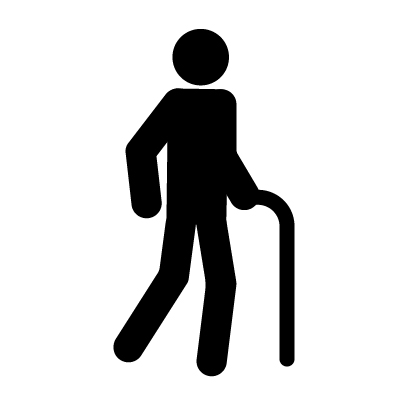
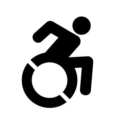
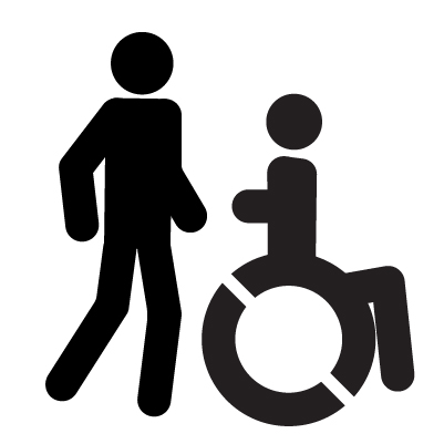
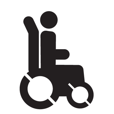
The IAN Map allows you to customize your route on campus. You can select a pedestrian mode:

You can also choose from a variety of navigation options:

The process
Learn about how we created the IAN map! Find out more on how ideas were developed through community input, the data and tools we used, details of the network routing, as well as what's more to come for the map.
ABOUT
A series of community consultations were held to obtain input from students, staff and faculty on desired map features, design and purpose at the beginning of the project in Oct/Nov of 2018.
PARTICIPANTS (%)
FINDINGS
- Service mainly useful for navigating campus before familiarized with it
- Map and routing should address construction, seasonality, difficult campus terrain and ambiguity of shared pedestrian zones
- Map features (buildings, paths, amenities) and app features (interactivity)
- Accurate, recent data and a user-friendly, accessible interface are crucial to the app’s success
PHOTOS


SOFTWARE USED
PostgreSQL (v.11):
A free and open source relational database management system. The PostGIS extension adds support for geospatial data, and the pgRouting library provides routing functionality. Spatial tables in the IAN map database are stored as PostgreSQL tables on a server hosted by the GIC.
QGIS (v.3.6):
A free and open source geographic information system for creating, editing, visualising, analysing and publishing geospatial information. QGIS was used to create and manipulate the path network, campus buildings, entrances, and other geographic features.
Survey123:
A form-centric data-gathering application which allows creating, sharing and analyzing surveys. This tool was used for data collection in the field, allowing us to gather coordinates, photos and information about features. This data can be downloaded in a variety of formats, including csv, shapefile and geodatabase.
GeoServer:
An open-source server that publishes data from any major spatial data source using open standards and allows users to share, process and edit geospatial data. The IAN network tables published on GeoServer can be queried using functions defined in postgreSQL and pgRouting, as SQL views. These SQL views are displayed on the front end website of the IAN map.

WHAT'S IN THE DATABASE
The map database contains geographic and accessibility information about campus paths, buildings, and terrain. It contains data that is relatively static (entrances, buildings, staircases) as well as data that is updated as necessary (path conditions, construction zones).
PERMANENT NETWORK
- All campus paths
- All campus buildings
- Entrances and building connections
- Stairways, and ramps
- Elevators
DYNAMIC NETWORK
- Construction zones
- Alternative paths
- Temporary closures
- Accessibility information
- Seasonal routes
METHODS
Exterior path data were obtained using a variety of sources, including georeferenced campus shapefile, OpenStreetMaps and Google Satellite imagery. Path conditions and materials were surveyed using paper maps.
Exterior and interior accessibility features of entrances, buildings, staircases, ramps and elevators were audited using Survey123.
Slope was calculated using elevation values from LiDAR satellite imagery.
For more detail on our methodology and/or database structure, please contact our Project Administrator.
COST WEIGHTING
Different cost factors are more important than others for each routing profile. Below are examples of how the weight of cost factors are allocated, based on guidance from literature, access advisors from the McGill Office for Students with Disabilities, and focus group participants.
COST PROFILE: AIDED WALKING
COST PROFILE: MANUAL WHEELCHAIR
Contact us
Have further questions about the project, wish to get involved, or have feedback for us?
Contact our project admin Chris, or one of our team members!


Contributors
Groups and organizations that were a part of this project.


Special thanks
We would like to thank everyone who helped in the creation of the IAN Map:
Gift Tshuma
OSD Access Advisor
Ryan Burgett
Front end web development
